Gurnard Luck

Gurnard Luck is a small Isle of Wight river that starts from the boundary of Parkhurst Forest and flows northward to the Solent.
Before Cowes was a port, the crossing was from Lepe, opposite Gurnet (now Gurnard) Bay, and it is thought that the stream was navigable for some distance. Ploughing at Harts Farm, Rew Street unearthed a very large stone block with a metal mooring-ring was unearthed. There is a rumour that King Charles 1st landed there before being taken to Carisbrooke Castle, but he appears to have arrived at several island sites.

This 1940’s map is interesting in that it shows a rifle range on the left (west bank) and targets by the beach on the right bank. Note how the downstream section of the river has been artificially straightened as it flows through farmland.
Gurnard Luck has a history of flooding at Gurnard Marsh. The usual range of the Gurnard Luck at Gurnard is between 0.07m and 0.75m. It has been between these levels for 90% of the time since monitoring began. The highest level ever recorded at the Gurnard Luck at Gurnard is 1.95m, reached on Tuesday 10th February 2009 at 12:45am.
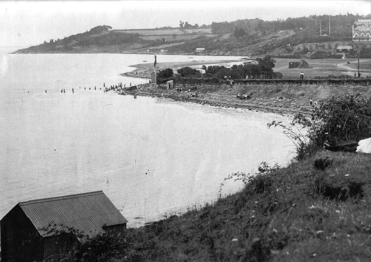
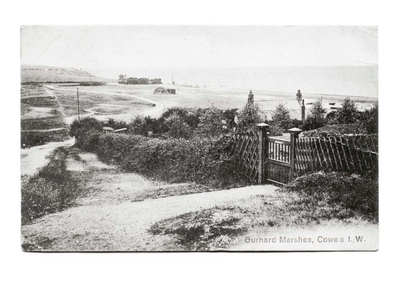
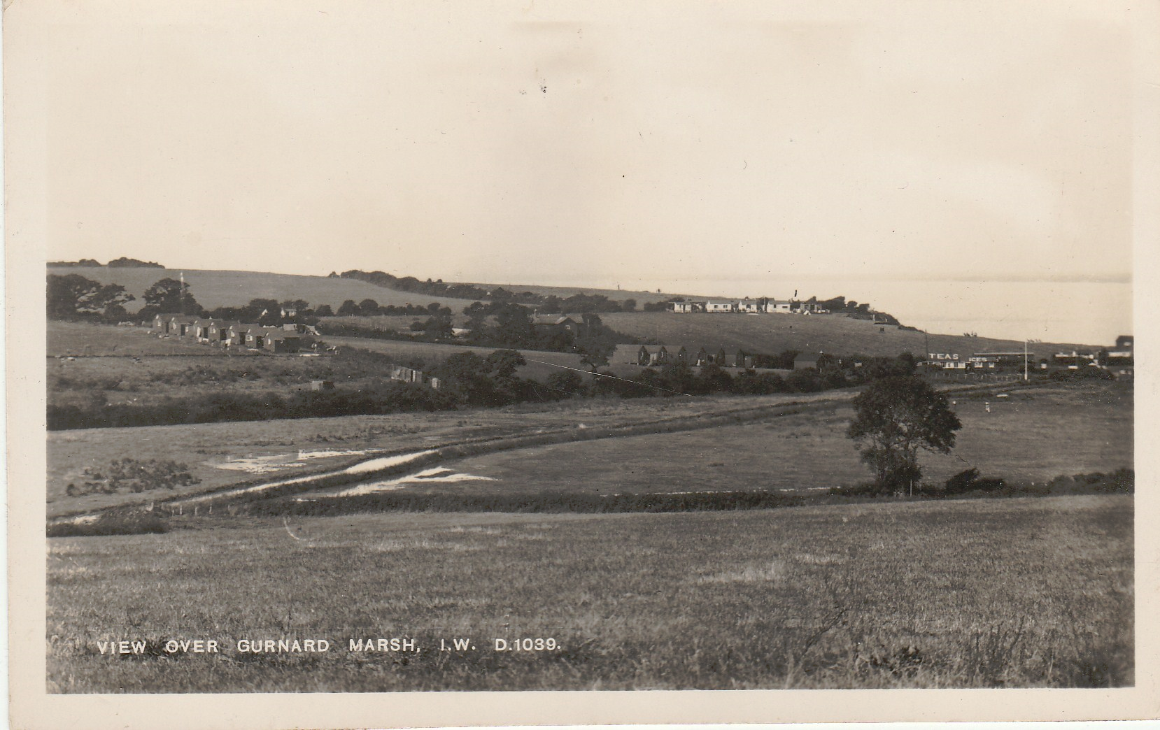
Hilary Higgins has done some super sleuthing and found a selection of old postcards showing the development of Gurnard Marsh and the Luck.